Land, buildings, volumes
2D/3D mapping and photogrammetry
Orthophotos, 3D models and surface measurements for land, buildings and sites.
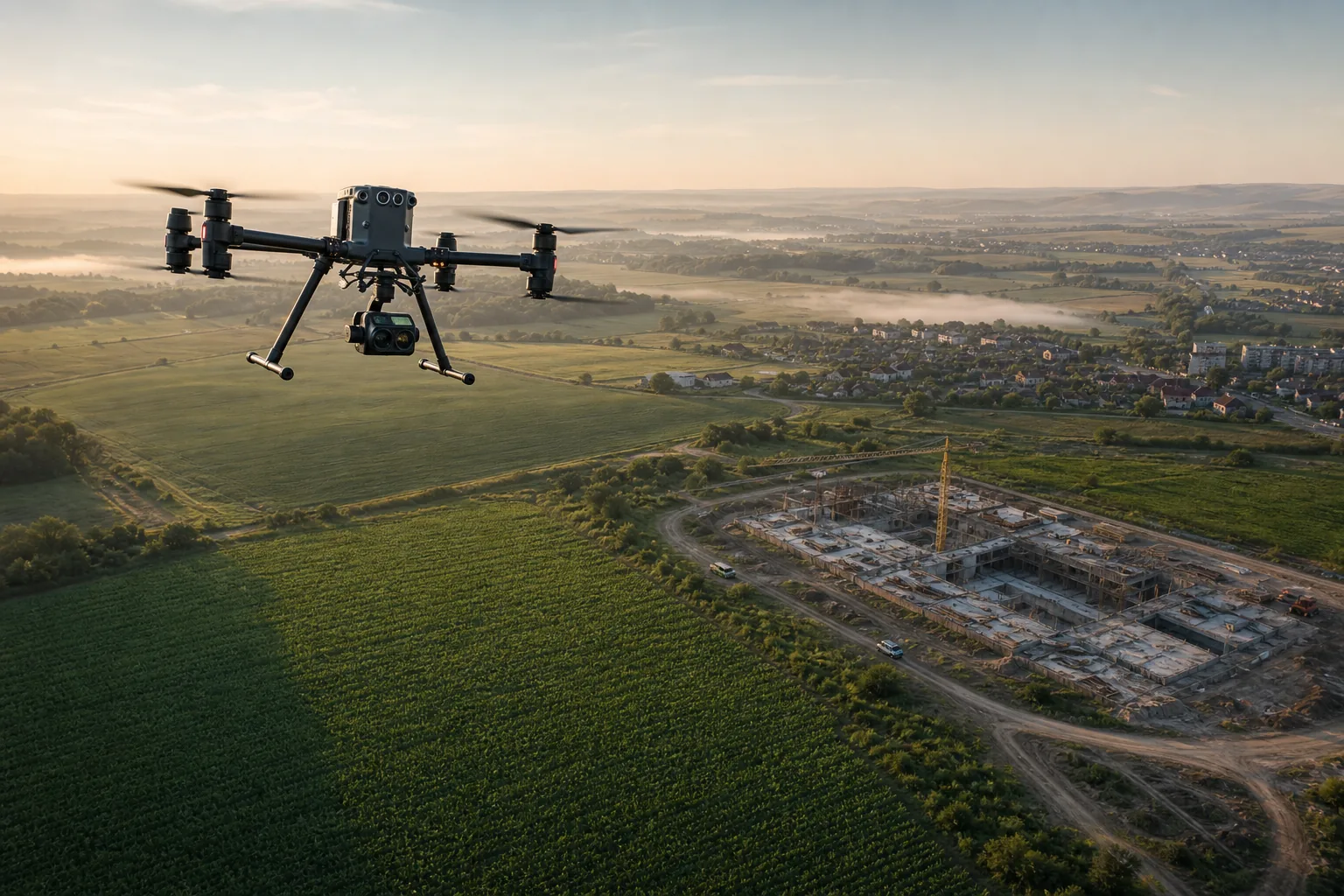
Blackout Media | Drone data studio
Planned flights, clear imagery and practical deliverables for land, construction, agriculture and environment.
Practical precision
We do not deliver just spectacular images. We prepare useful materials for measurements, checks, reporting and fast decisions.
Services
We choose the flight plan and deliverables based on terrain, objective and project rhythm.
Land, buildings, volumes
Orthophotos, 3D models and surface measurements for land, buildings and sites.
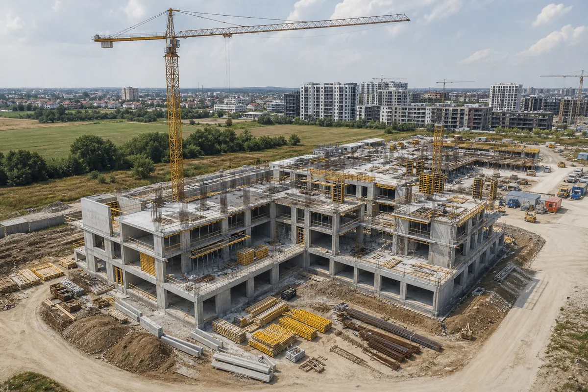
Progress, risk, coordination
Recurring images from the same angles for progress tracking, checks and fast reporting.
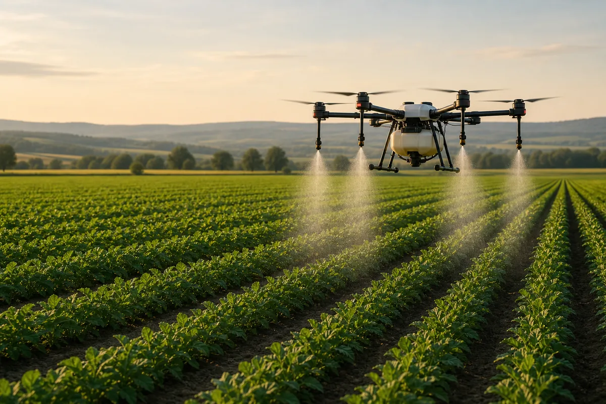
Crops and interventions
Crop monitoring and targeted interventions through planned flights adapted to the terrain.
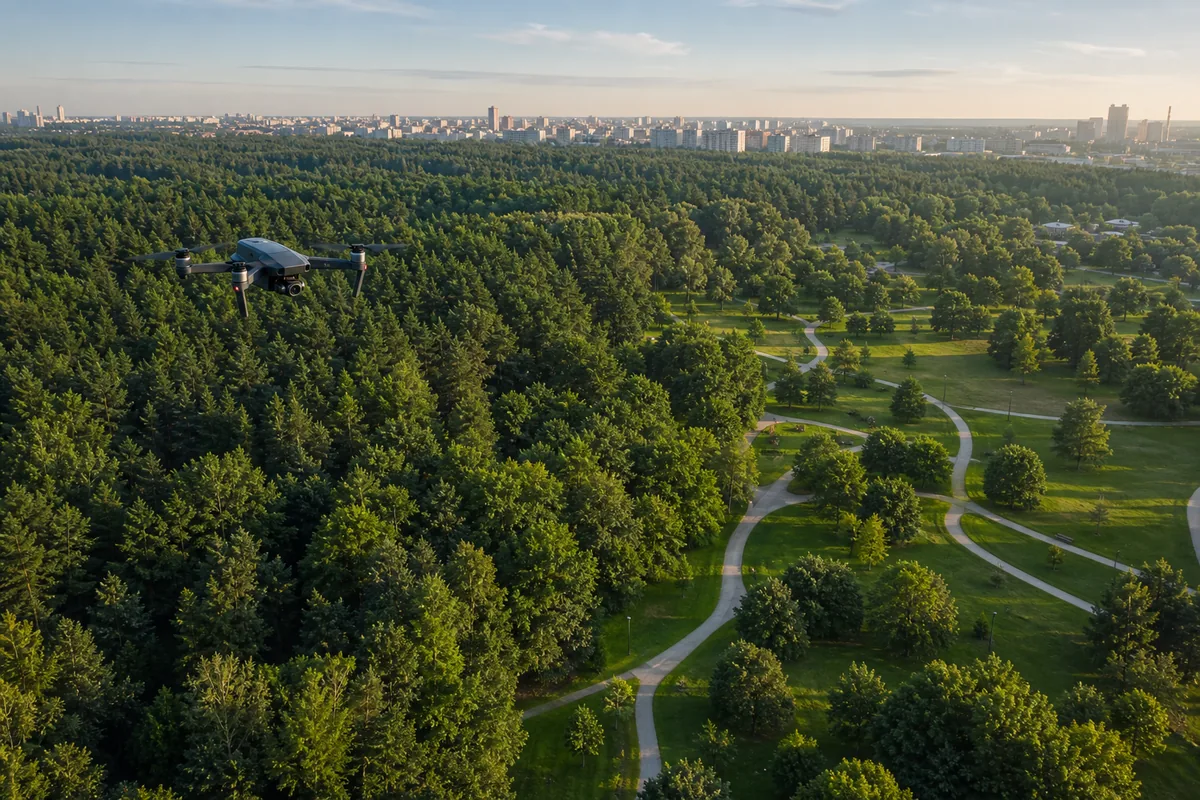
Vegetation and environment
Visual inspections for vegetation, affected areas, inventory and intervention planning.
Deliverables
You receive the right level of detail: presentation, verification, measurements or progress.
Overview and detailed aerial images
Orthophotos and measurement materials
3D models and visual documentation
Progress reports for construction sites
Observations for vegetation, crops and green spaces
Work zones
Process
We define the objective, area, deliverables and timeline.
We choose altitude, coverage and capture method.
We collect materials in a repeatable, easy-to-compare way.
We hand over files, observations and next steps in a concise format.
Why it matters
Drones reduce inspection time and quickly document progress, vegetation or land configuration.
Contact
We reply with the flight type, useful deliverables and an execution estimate. For a faster reply: 0722 682 988.